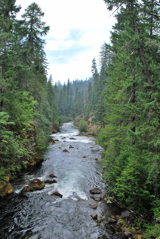
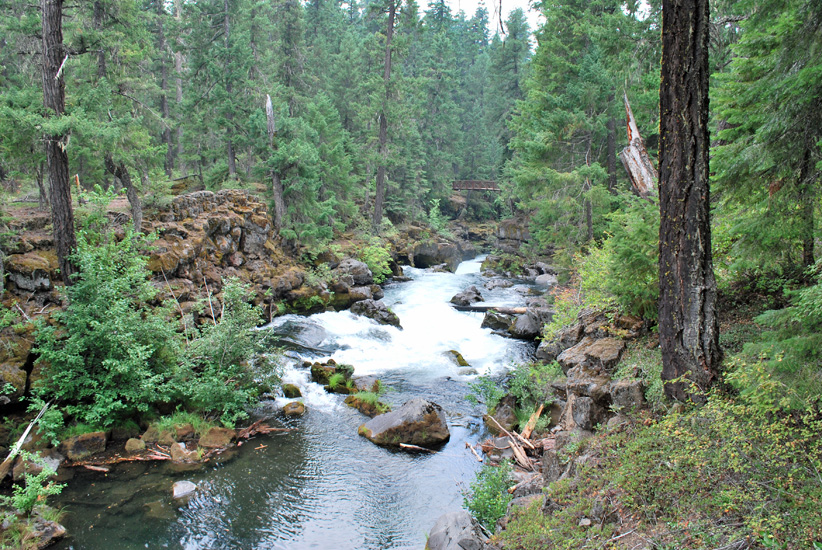
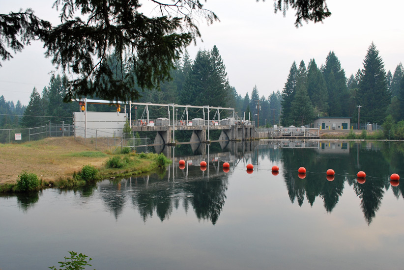
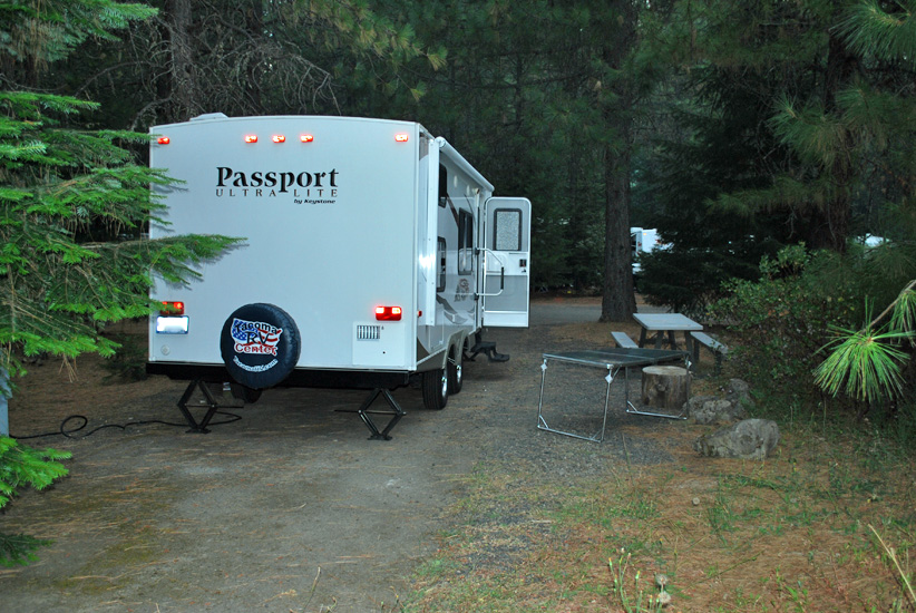
We finally made it to Crater Lake, located 19 miles north of our RV park.
It’s beautiful country. We would recommend the trip. Most of the people we encountered didn’t speak English (or weren’t speaking it in public) and we were the only car truck with plates from Washington. Most were from California and Oregon. Enjoy!
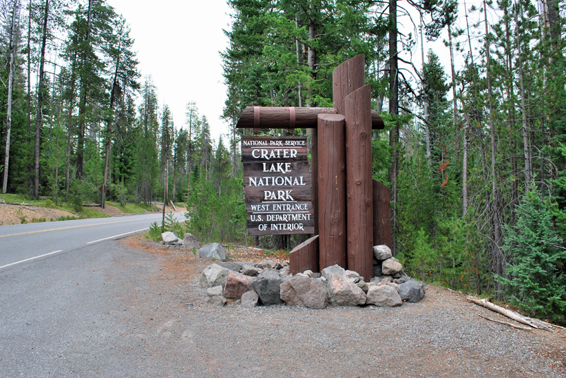
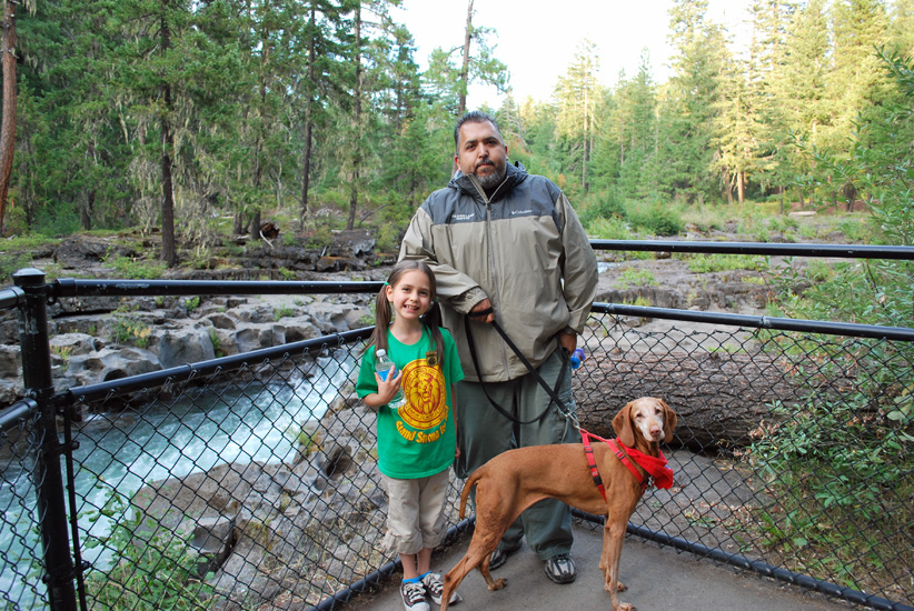
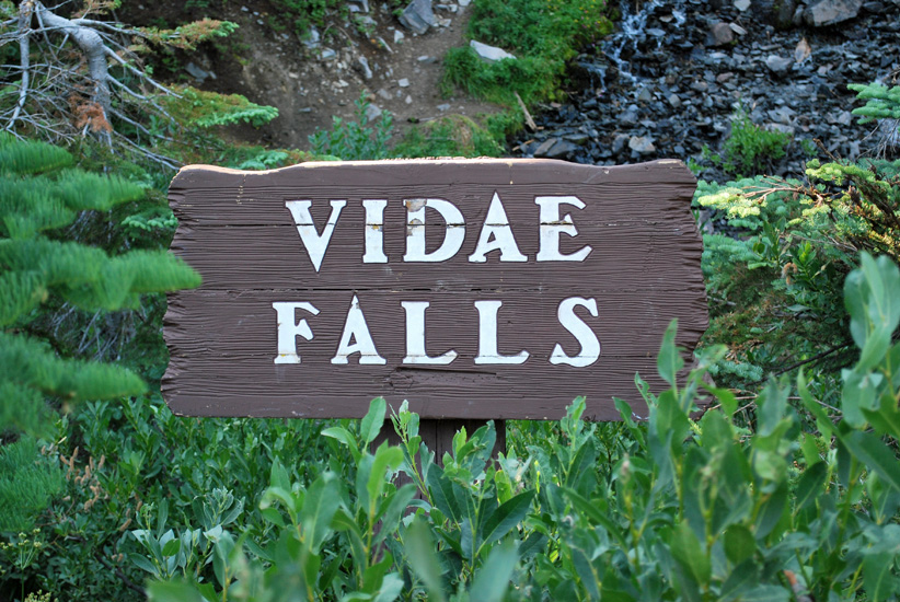
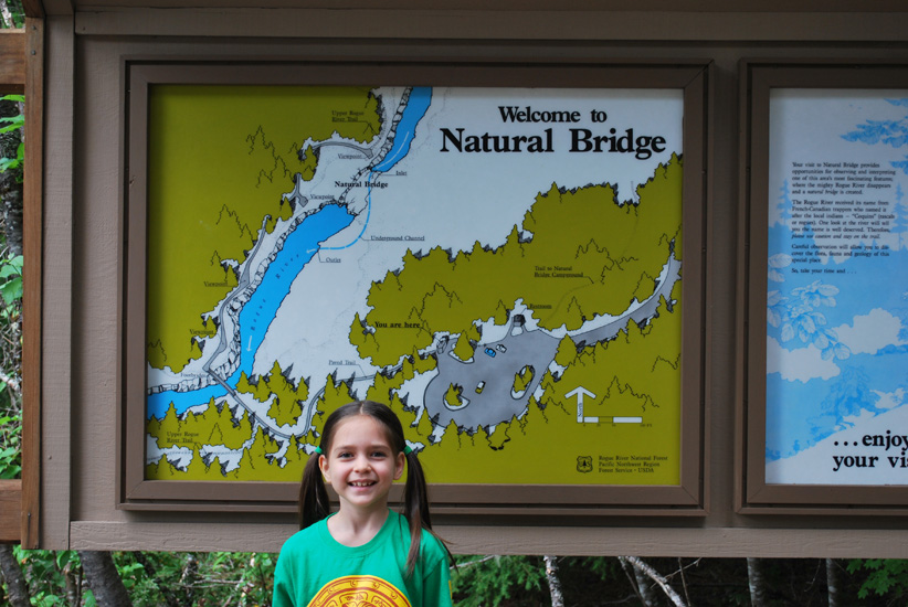
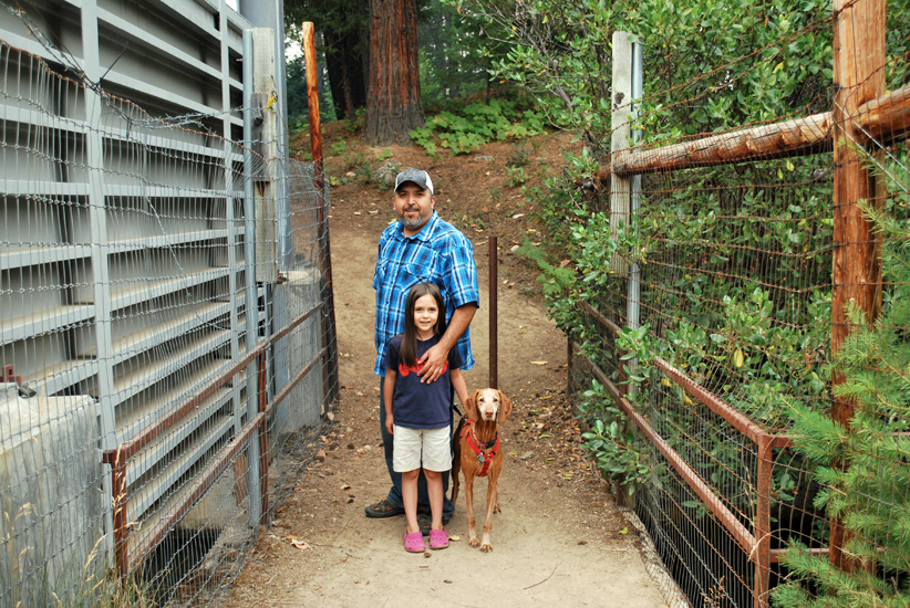
Nobody wanted a picture by the sign and I can’t take one of myself.
Oh well, a quick shot and then it’s onward to the lake!
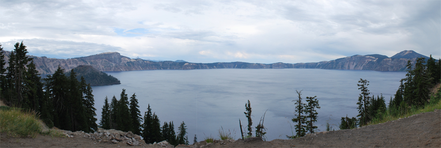
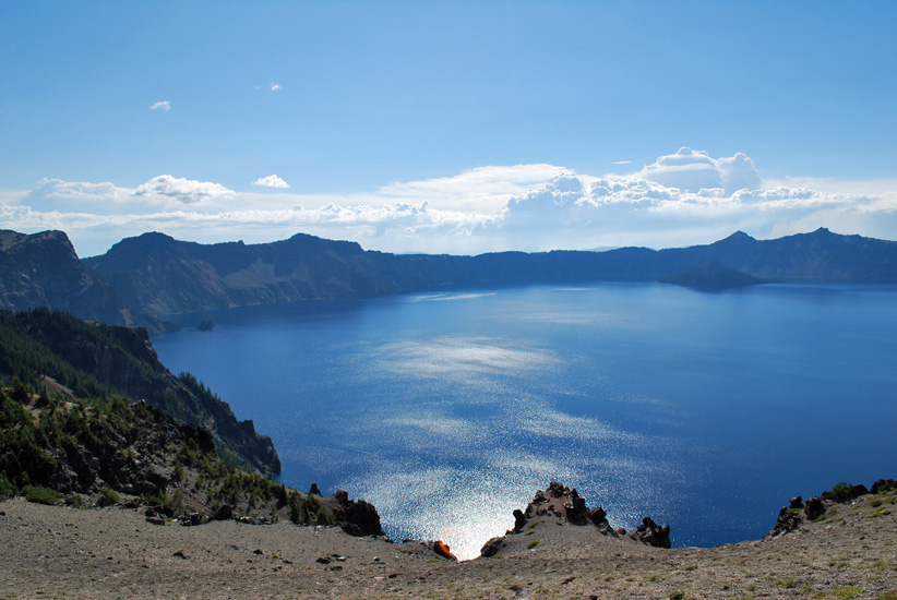
Our first view of the lake at 7,100 ft. was a disappointment!
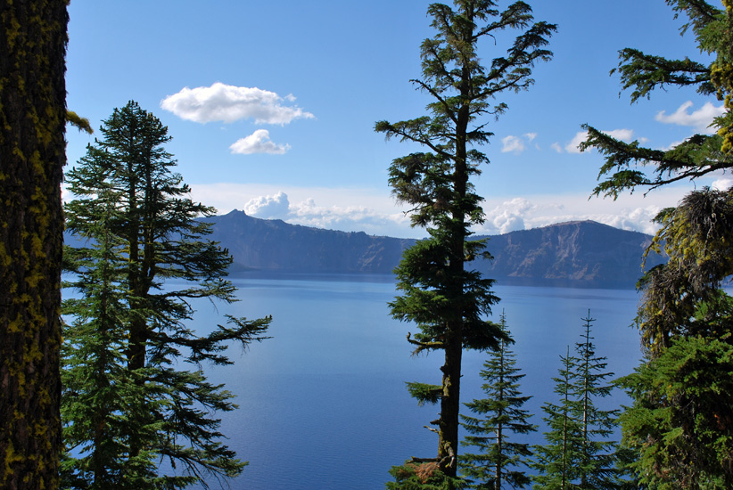
The view matches the sky!
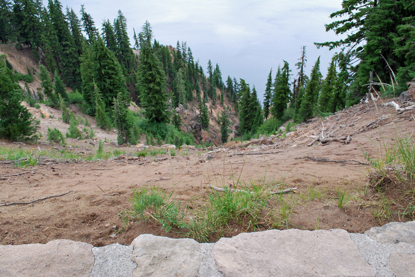
We arrived around noon and the wind was blowing across the caldera cold and fast. Thick clouds were gathering overhead and it looked like rain. Since we didn’t think to take along our jackets or a sweatshirt, we stopped by the gift shop and got some great souvenirs! Afterward, we went and hiked around.

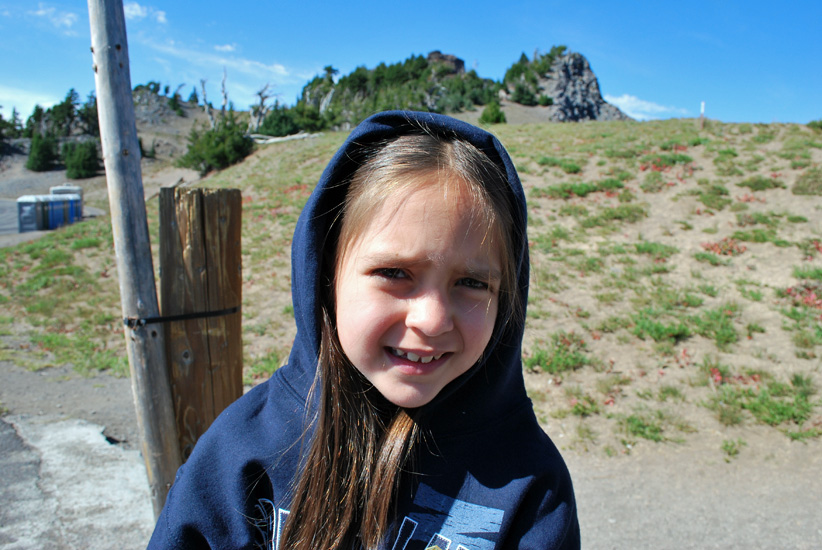
Does she look cold? She’s not, the wind was whipping up dirt and it was getting in our eyes.
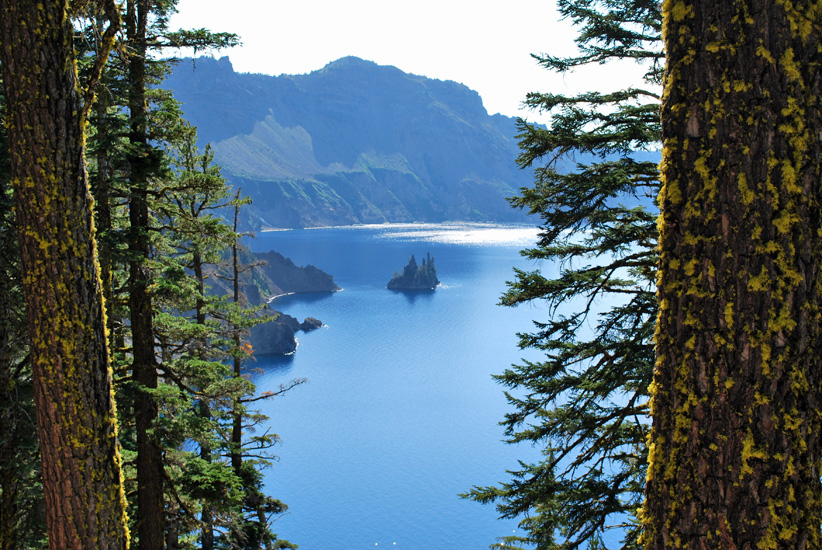
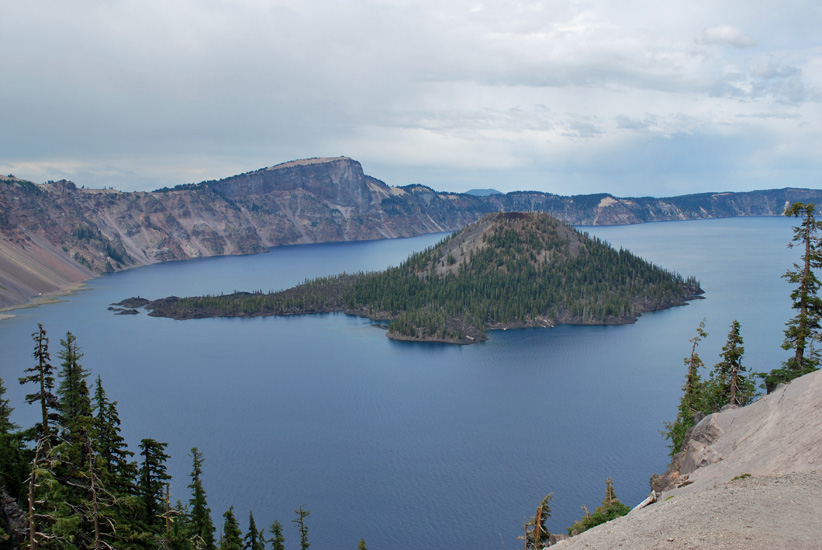
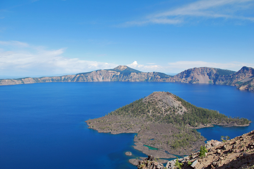
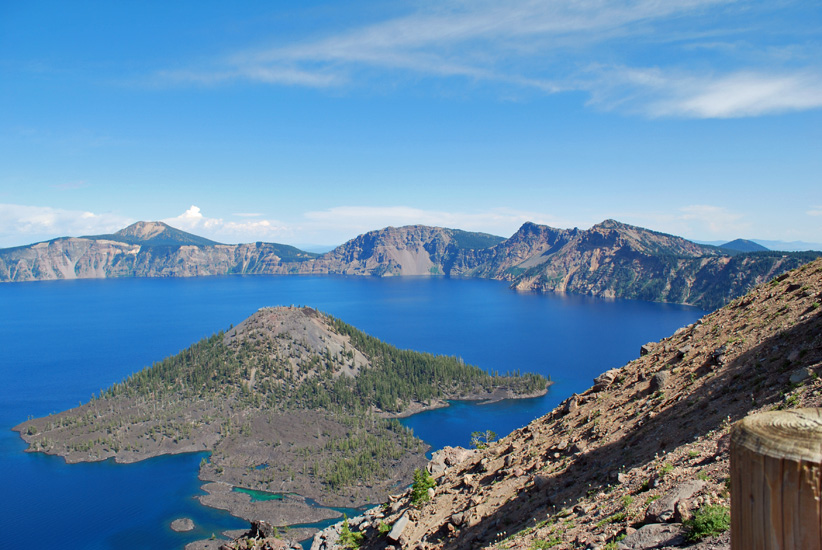
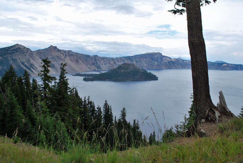 Wizard Island, Fumarole Bay and Skell Channel.
Wizard summit is 6,940 feet and is only accessible via the Crater Lake boat tour. You can swim, fish, and hike on the island. I later learned that the trees along the summit have been killed by a parasitic plant; dwarf mistletoe.
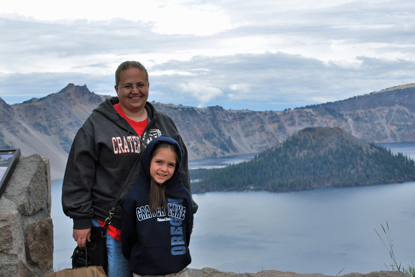
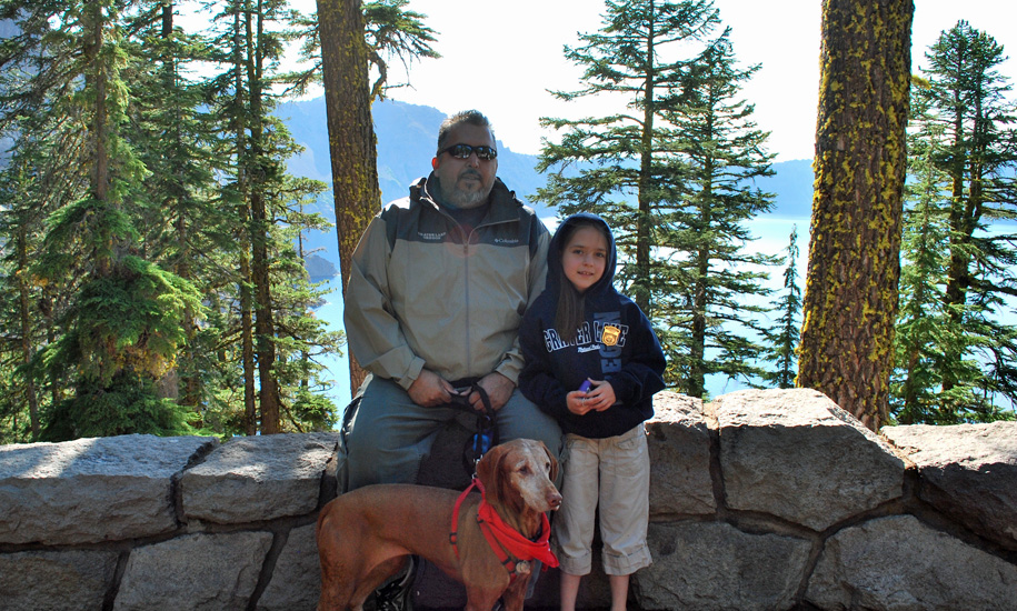
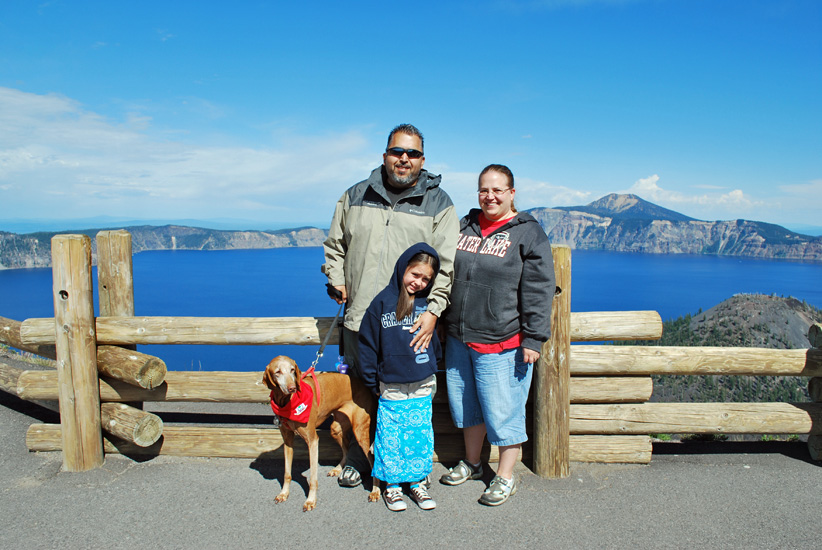
Isabel and I in front of Wizard Island.
The “Devils Backbone” is just over my left shoulder.
(notice the little stone wall behind us, at the very bottom of the picture…)
 The view drops straight down into the caldera! So WATCH OUT!
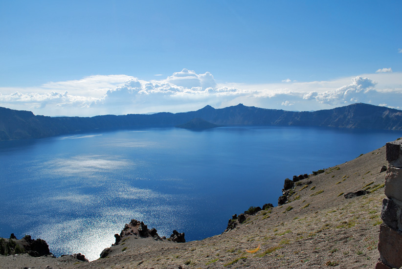
After taking this photo and posting it to the blog I noticed that the lake water below looks more like clouds. So it appears that we are above the clouds, which isn’t the case at all. The lake reflects the sky no matter if it’s cloudy and gray or sunny and blue. Very interesting and cool.
One last photo before we head inside, while the rain comes down and there’s a bit of lighting.
The water in this photo is fascinating in the way the surface seems to bend and twist all within the same space!
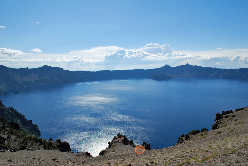
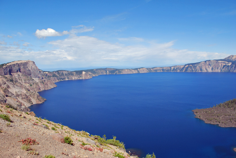
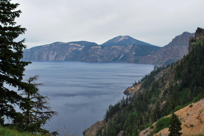
Grotto Cove is on the far left, while Danger Bay is on the right. You can also just make Phantom Ship Island. Garfield Peak, in the right foreground, is the second highest peak in the park at 8,054 ft. Mount Scott, in the very back, is the tallest peak in the park at 8,929 ft.
Interesting fact: the average water surface elevation is 6, 173 ft. and the average temperature is 32°-60° F. No streams empty into the lake that would normally bring sediment to cloud the water, so clarity is 143 feet, which is a world record. The maximum depth is 1,943 feet, which is also a record for a fresh water lake in the United States. The maximum distance across is 6.1 miles.
There were several species of fish introduced into the lake between 1888 and 1941. However only 2 live and reproduce in the lake today; Kokanee salmon and Rainbow trout. Fishing is allowed but with artificial lures only.
At this point we came to our first destination and it was where we spent most of our time at the lake because someone wanted to earn her Junior Ranger BADGE and Junior Ranger PATCH. We made a stop at the Rim Village Visitor Center to collect her Junior Ranger activity book. She had to complete 7 of the 11 pages in her book to get the BADGE.
With help from Daddy, she finished her book in 2 hours time and was able to join the Junior Ranger summer activity to get the PATCH. AWESOME!
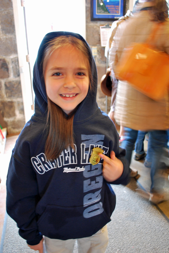
She’s so PROUD!
Now it’s time for that summer activity with the ranger.
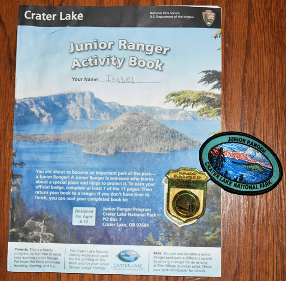
Her Crater Lake activity book, badge, and patch.
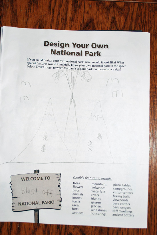
Inside she got to pick which pages she wanted to complete.
Draw your own National Park; she drew mountain peaks with snow and trees and 1 mountain erupting! She would call it: BLAST OFF National Park!
(the ranger loved this!)
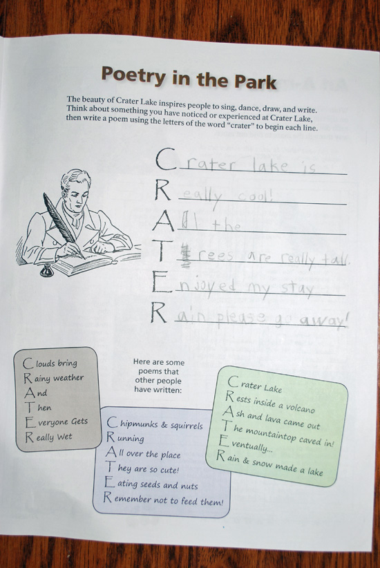
On this page she had to come up with a poem of her own while using the letters from CRATER.
“Crater Lake is
Really cool!
All the
Trees are really tall.
Enjoyed my stay
Rain please go away!”
by Isabel
So awesome! Love it!
She did 5 other pages with various activities but I just wanted to highlight these 2.
Now it’s onto more site seeing and exploring!